
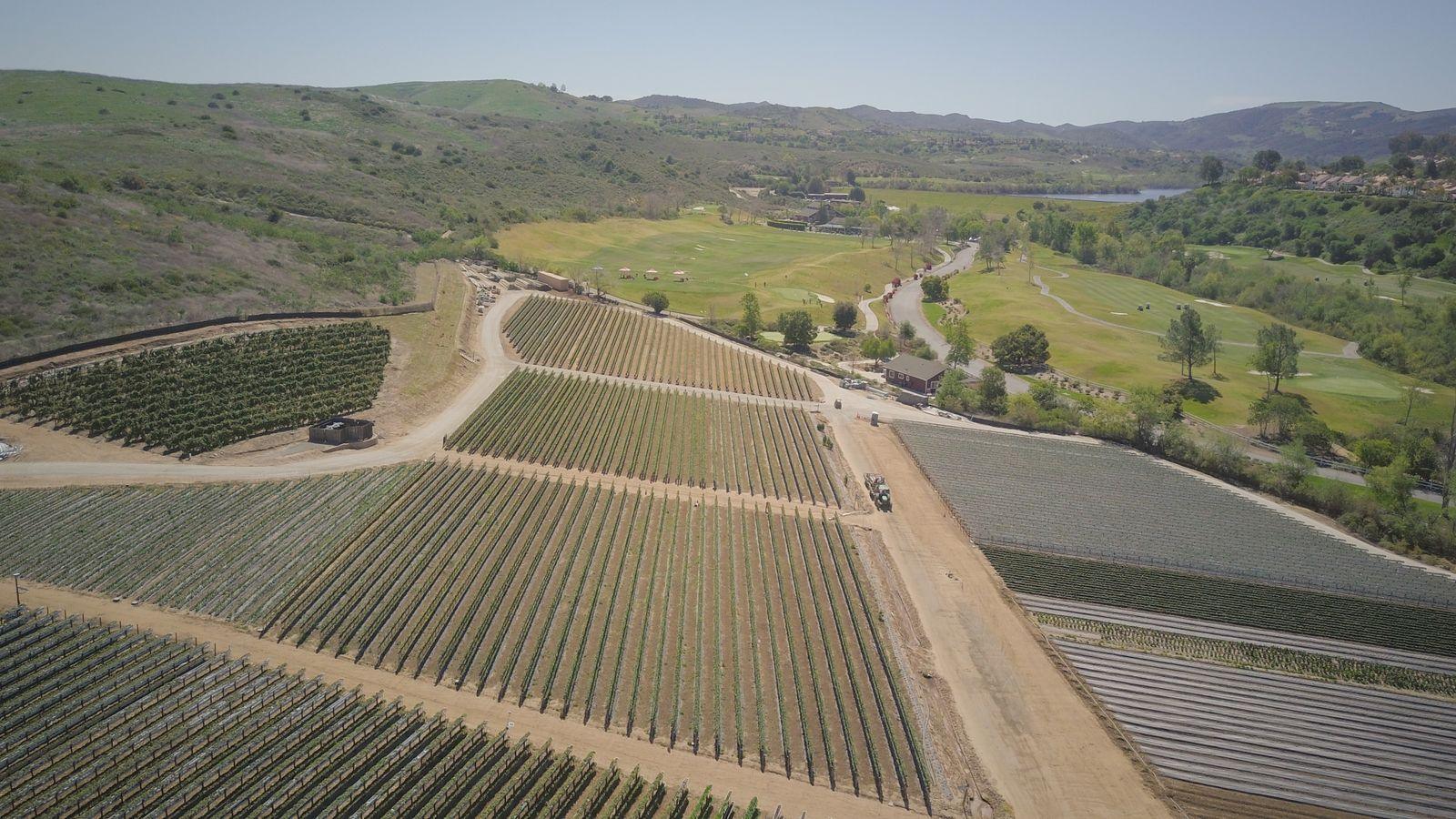
Site maps & 3D models
A current, measurable picture of your site — shareable with your team.
- Orthomosaic map (GeoTIFF + web viewer)
- Textured 3D model and point cloud
- Surface model for planning
Lincoln · Omaha · Gilbert · Mesa · Chandler
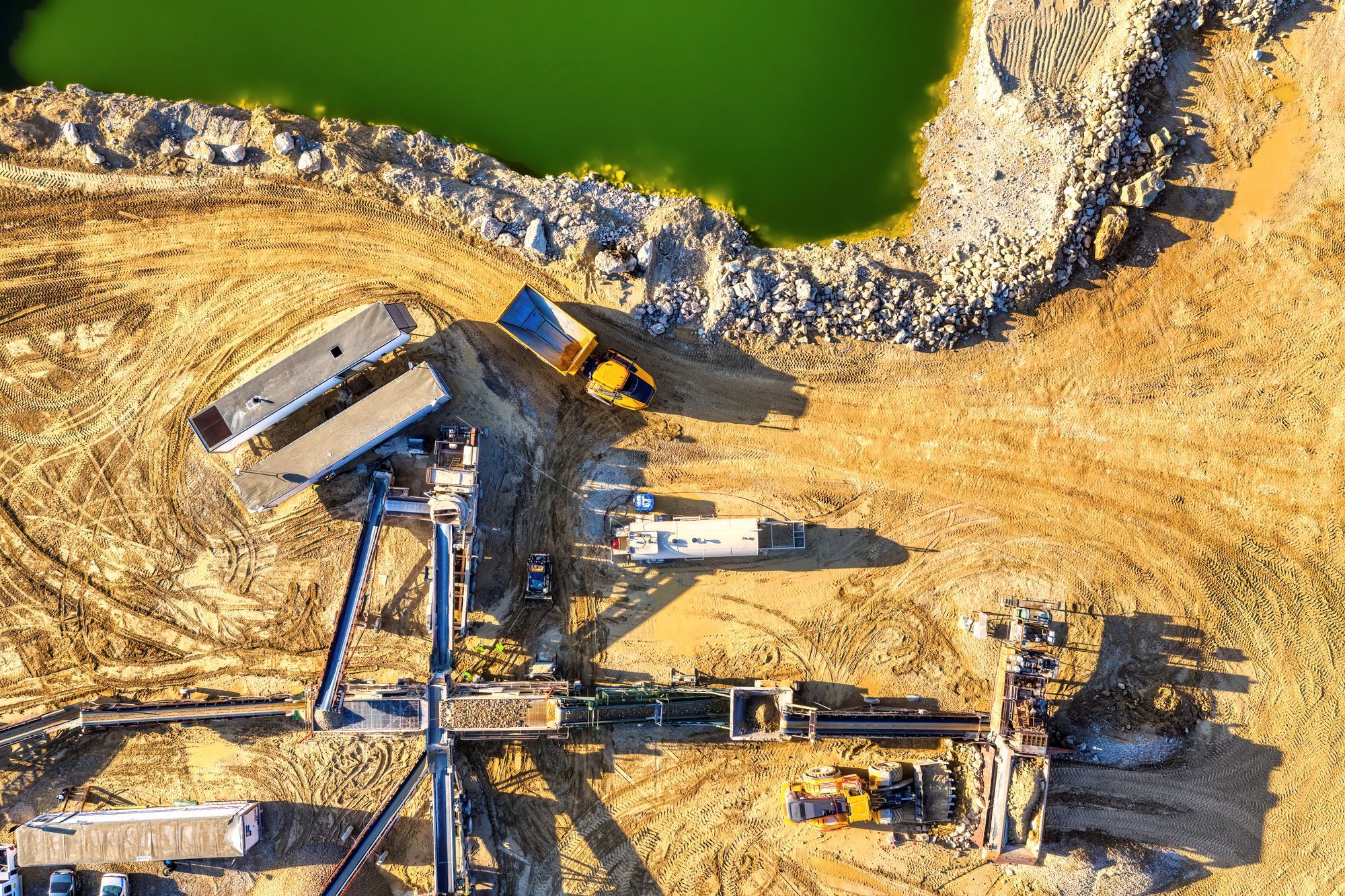
Aerial mapping, 3D site models and progress imagery for construction, engineering and agriculture across Nebraska and Arizona.
Representative licensed photo; not an Athena project. Imagery and data — not licensed surveying or engineering.
What you receive
A current, measurable picture of your site — shareable with your team.
The same vantage on every visit, so changes are easy to see and report.
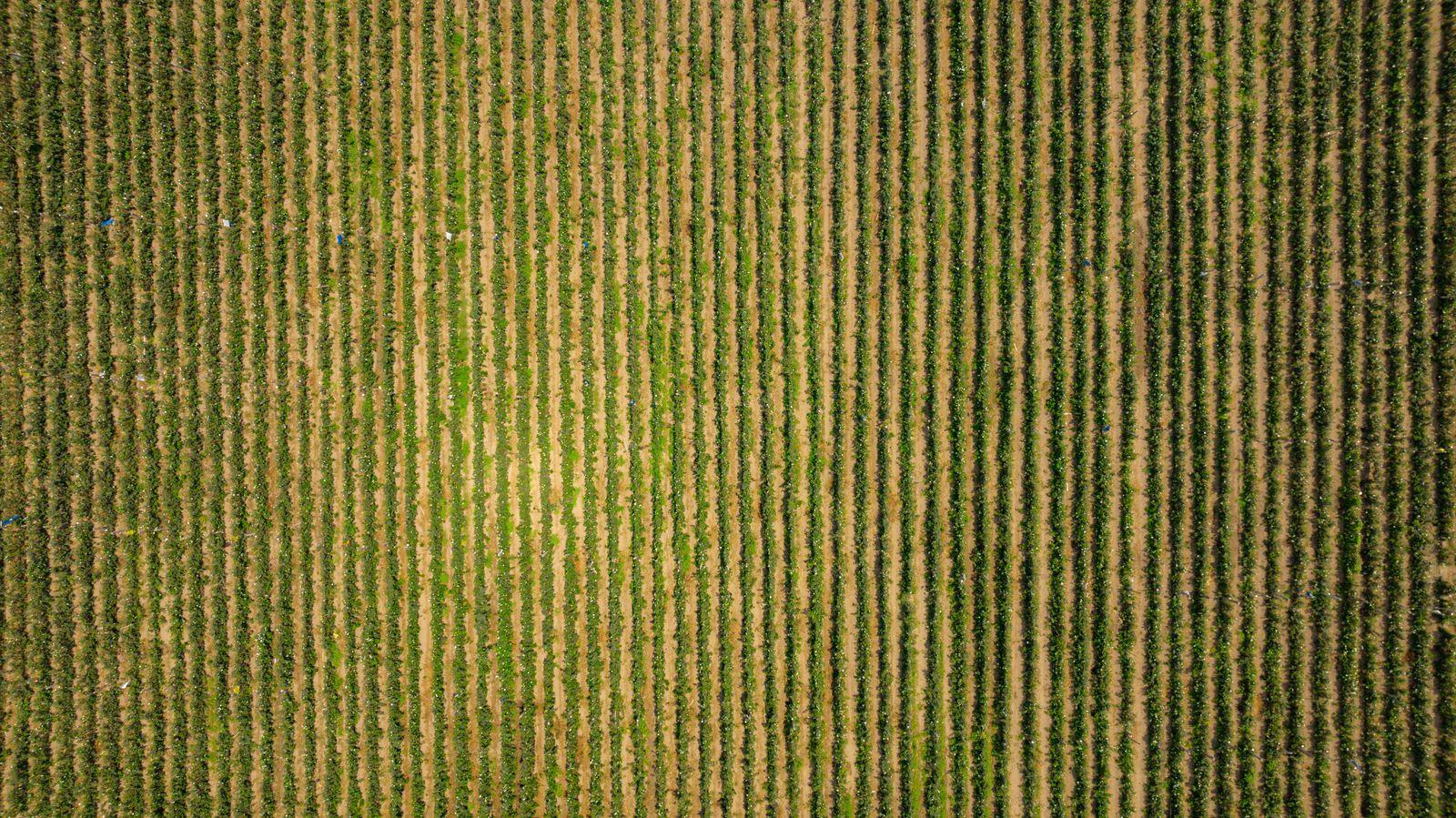
High-resolution color imagery to decide where to walk and what to check.
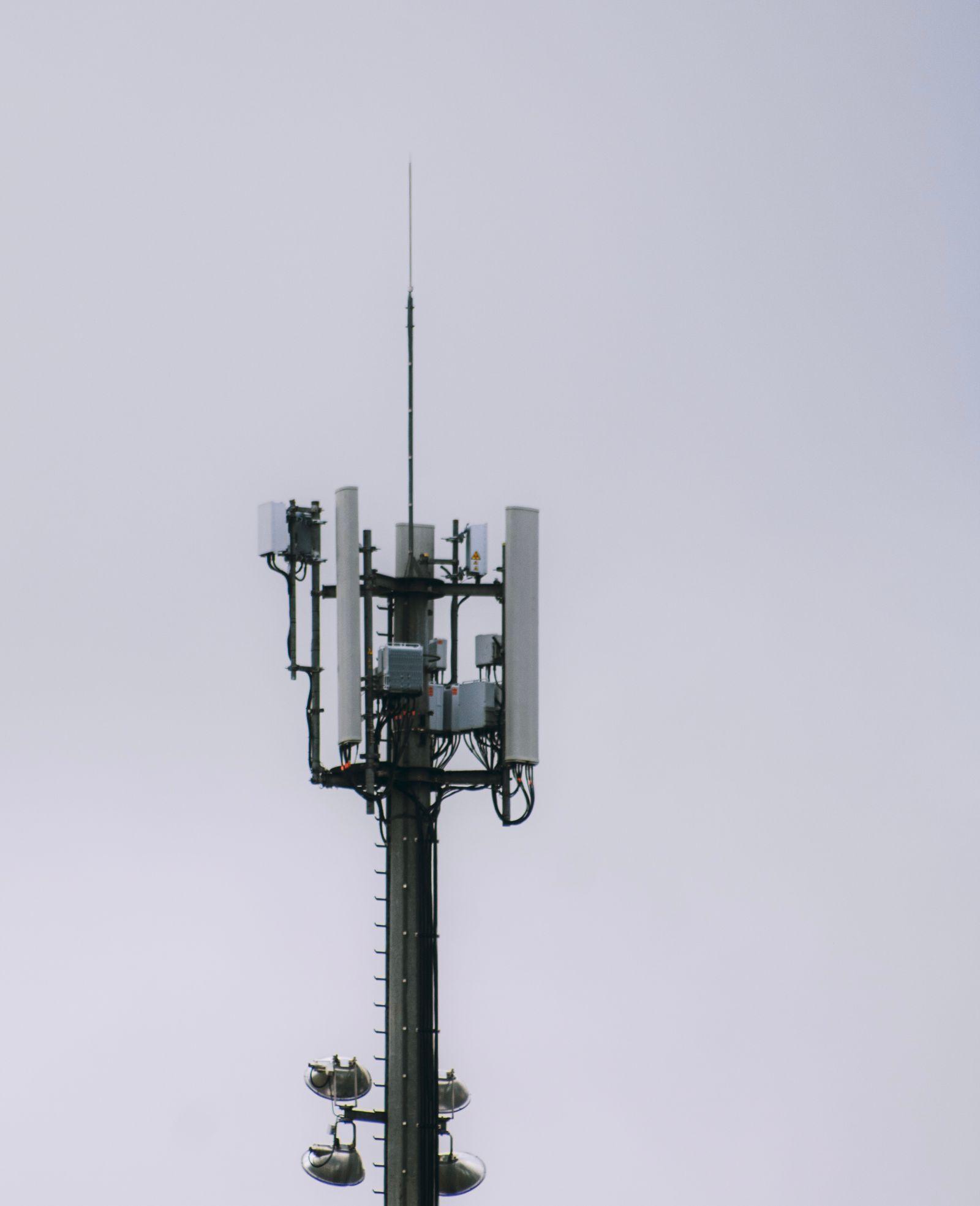
Clear visual records of towers, roofs and facilities for your engineers.
Representative licensed footage/photos; examples of services, not completed client projects.
All servicesHow it works
Step 1
Tell us the site, the timing and what you need to decide.
Step 2
We check airspace, access and equipment, then send a written quote.
Step 3
A planned flight on the agreed date, weather permitting.
Step 4
Files your team can open, delivered by secure link.
A typical mapping day
From site walk to finished 3D model, in six illustrated scenes.
More fieldwork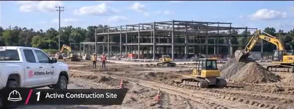
Scene 1 of 6: Active construction site
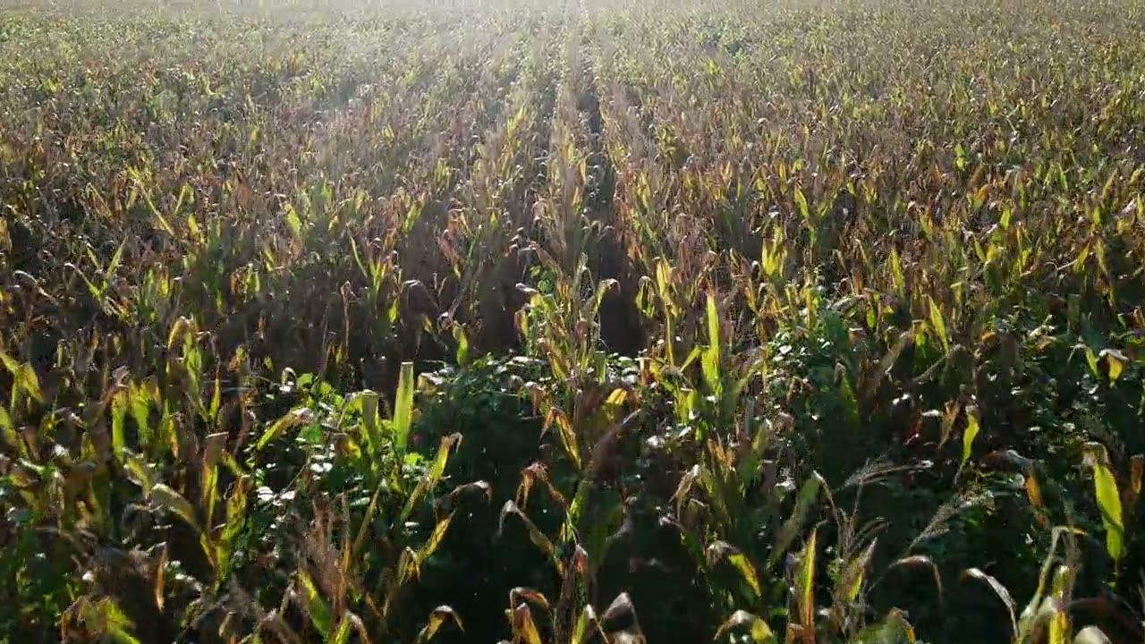
Service area
Lincoln · Omaha · southeast Nebraska — subject to scheduling
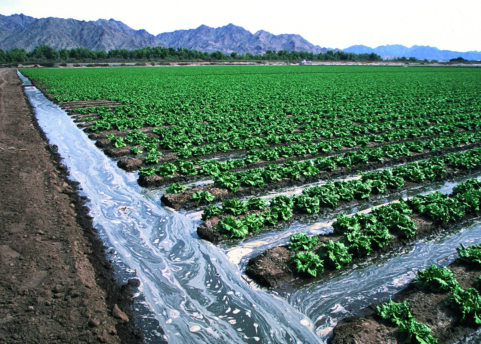
Service area
Gilbert · Mesa · Chandler · East Valley — subject to scheduling
Photo: irrigated lettuce, Yuma, AZ (USDA NRCS) — representative of Arizona agriculture
Talk to us
No long form needed. Tell us the site and the timing, and we'll take it from there.
Prefer to write? Request a quote online or email alloveraerial@gmail.com.
We fly a DJI Mavic 3 Enterprise with an RGB (visible-light) mapping camera. No thermal, multispectral/NDVI or LiDAR sensor.
Absolute accuracy depends on ground control or an RTK workflow agreed in writing. We do not claim blanket centimeter accuracy, and our outputs are not a licensed survey or engineering opinion.
Crop stand counts are estimates for sampled zones, reviewed by a person and best checked against hand counts — not a validated automated whole-field count.
Some public contracts — including NDOT State projects — restrict this class of aircraft, so we review equipment and funding rules for every project. Tower work requires owner permission, site access, airspace authorization and RF safety controls. Power-line inspection is not offered.


